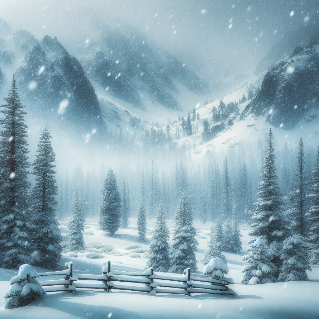
Winter Storms Could Bring 8 Feet of Snow to Parts of California
As multiple Pacific storms barrel toward California, the Sierra Nevada faces extreme impacts with forecasts predicting up to 2.4 meters (8 feet) of snow through February 18.[1] These back-to-back systems, detailed in recent updates from the Center for Western Weather and Water Extremes (CW3E) and the National Weather Service (NWS), promise heavy precipitation across the state, from mountain blizzards to lowland flooding.[2][3]
A Double Punch of Storms Hits the Golden State
The first storm is already delivering rain to central and southern California, fueled by a weak atmospheric river (AR) expected on February 16.[2] CW3E reports that about 70% of West-WRF ensemble models forecast AR-1 conditions over San Diego County, though peak moisture transport remains uncertain.[2] This system could bring 3–7 inches of total precipitation to the Sierra Nevada, California Coast Ranges, and Transverse Ranges over the next week, per NWS Weather Prediction Center outlooks.[2]
The second storm packs the real punch for snow lovers—and headaches for travelers. Relatively low freezing levels will drive widespread significant snowfall, especially above 5,000 feet in the Sierra Nevada and highest peaks of the San Bernardino Mountains.[2] By February 19, several feet of accumulation are possible, with the most extreme models eyeing 8 feet in isolated Sierra spots.[1][2] KTLA forecasters echo this, noting up to 2 feet in local Southern California mountains through Thursday, with snow levels dropping to 3,500 feet.[5]
After a prolonged dry spell, this snow is a boon for water supplies. Northern and central Sierra snowpack is well below normal, making these storms vital for replenishing reservoirs ahead of spring melt.[2]
Broader Impacts: Floods, Winds, and Chaos Below the Snowline
Lower elevations won’t escape unscathed. Central Valley residents are bracing for heavy rain, with AccuWeather noting a morning deluge on February 16 followed by potential thunderstorms in the afternoon.[4] Santa Barbara County faces a major storm from February 15-20, including risks of flooding in low-lying areas, flash flooding, strong winds, hail, lightning, river flows, rockslides, mudslides, downed trees, and cold temperatures.[3]
Active alerts include:
– Flood Watch for parts of Santa Barbara County on February 16.[3]
– High Wind Warning and Wind Advisory countywide.[3]
– Winter Storm Watch from February 17 through 19.[3]
Gusts up to 25-30 mph are slamming coastal communities, while high surf advisories warn of breakers reaching 6-10 feet through Thursday, especially northward.[5] Marginal excessive rainfall risks cover coastal areas from the Bay Area south into February 18.[2]
Roads near recent burn scars, like Highway 166, could see isolation from slides and floods.[3] Beaches, bluffs, and harbors—think Isla Vista erosion—are off-limits.[3]
Preparation Is Key: Stay Safe Amid the Fury
Public safety officials urge action now. Before the rain: Monitor forecasts, secure outdoor items, charge devices, check on vulnerable neighbors, and prepare pets.[3] Sandbag locations are listed via county resources.[3]
During the storm: Avoid rivers, creeks, burn areas, and low spots. Shelter in the innermost room on higher floors if needed. Never drive, swim, or walk through floodwaters—turn around, don’t drown.[3] If thunder roars, head indoors and wait 30 minutes post-storm.[3]
Highway status updates and ReadySBC alerts provide real-time intel.[3] No evacuations yet, but leave flood-prone spots preemptively.[3]
For travelers eyeing the Sierra Nevada, expect closures. Chains required, or better yet, stay put. CNRFC river forecasts and NWS watches are must-checks.[2]
Why This Matters: Snowpack, Economy, and Climate Context
Beyond drama, these storms highlight California’s weather extremes. Beneficial now, but rapid melt could trigger spring floods if warm rains follow. Crop harvests in the Central Valley teeter on the edge, with Valley blooms at risk.[4]
Climate patterns amplify such events: troughs deepening off the West Coast pull moisture from the Pacific, sometimes weakly (first storm) or fiercely (second).[2] Uncertainty lingers in AR duration and southern precipitation, underscoring forecast challenges.[2]
Experts like CW3E’s C. Castellano and team stress staying tuned—conditions evolve fast.[2] As of February 16, the setup is primed for historic snow in the Sierras, a reminder of nature’s power in a drought-prone state.
(Word count: 812)
Original source: The New York Times – Winter Storms Could Bring 8 Feet of Snow to Parts of California
